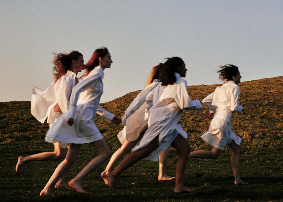

There is a line that cuts quietly across the lower half of England, an invisible thread linking sea and stone, village and ruin. The Saint Michael Alignment — or, the Sword of Saint Michael — stretches from Cornwall’s Atlantic tides to Suffolk’s abbey gardens, threading together hills, mounds, churches, and circles that have been revered, or simply admired, for centuries.
These sites are more than merely markers on a map. They are punctuation in a narrative written over millennia: Bronze Age tors and henges, Iron Age hillforts, medieval churches, and holy wells that never run dry. Some see the line as a trade route or astronomical alignment. Others sense its subtle energy, a quiet hum beneath the soles of the feet. Walk it long enough, and the line begins to assert itself: a rhythm beneath the landscape, a story that unfolds only for those willing to pay attention.

Tracing the Line Eastward
We begin at the edge of the Atlantic, where St Michael’s Mount rises like a sentinel from the tides, and follow the line inland, tracing a path through Devon’s windswept moors, Somerset’s green undulations, Wiltshire’s monumental earthworks, and finally to Suffolk’s abbey ruins.
Each point along the way is a note in a whispered melody: a hill, a circle, a ruin, a church — a place where history, myth, and human intention converge in palpable tension. Walking from west to east is not a matter of distance, but of attuning: of noticing the cadence of the earth beneath your feet, the sweep of sky above, the quiet conversation between past and present. To follow the Saint Michael Alignment is to step into a story that is still being written, one footfall at a time.
Cornwall

St Michael’s Mount
Rising from the Atlantic, St Michael’s Mount is a fortress, monastery, and island of legend, where sea, sky, and human devotion converge. The medieval monastery, founded in the 8th century, and the castle, largely built in the 12th–14th centuries, testify to centuries of continual care and settlement. Legend tells of Archangel Michael appearing to fishermen, binding the island to myth, while its physical link to Normandy’s Mont Saint-Michel speaks to a broader, pan-European sacred geography. The shifting causeway, revealed only at low tide, has guided pilgrims and wanderers alike for generations, each step a ritual in patience and observation. Within the walls and gardens, stone, timber, and tide intermingle, creating a liminal space where history, geology, and story feel inseparable. Standing here, one senses the Michael Line threading beneath the feet, an invisible current connecting Cornwall to Suffolk and beyond.
Finding the Way: Near Marazion, Cornwall; cross the causeway at low tide or take a small boat at high tide. Tickets via National Trust.

The Hurlers
Three Bronze Age stone circles rise on Bodmin Moor: their geometry precise, their purpose partially obscured by millennia. The circles align with celestial events, suggesting that those who built them observed the movement of sun and moon with careful intent. Local legend insists the stones were once men, frozen in punishment for playing hurling on a Sunday, a narrative that layers human imagination atop prehistoric practice. The surrounding moorland hums with memory: wind across the granite, the distant bleat of sheep, and the sense of countless footsteps over thousands of years.
Finding the Way: Short walk from Stowe’s Hill car park near Minions; paths unpaved.

Cheesewring
High on Bodmin Moor, the Cheesewring rises in improbable balance: a tower of granite slabs stacked like plates by a giant’s hand. Formed over millennia by wind and weather, its name comes from the resemblance to a press once used for squeezing curds into cheese. Yet myth insists otherwise — here, the giant Uther was said to have hurled stones in a contest with Saint Tue, the piles left as evidence of divine intervention. Whether geology or legend holds sway, the effect is the same: a monument to endurance, an austere beauty shaped by both time and tale.
Finding the Way: The Cheesewring sits near the village of Minions, on the southeastern edge of Bodmin Moor. Footpaths from Minions lead across open moorland, a walk of around 30–40 minutes. Sturdy shoes are essential; the moor is exposed and often wet underfoot


Boscawen-Un
A commanding stone circle on the north Cornish coast dating from around 2500–2000 BCE, Boscawen-Un aligns with midsummer sunrise. Its monoliths rise from the fields as if grown from the earth itself, radiating ritual presence and quiet majesty. Excavations revealed a central burial cist and surrounding cremation pits, connecting ritual, death, and celestial observation.
Finding the Way: Near St Buryan; parking nearby and a brief walk across fields.

Devon

Brentor Church
Brentor Church seems to emerge naturally from the granite it stands upon, as though the land itself demanded a sacred presence. Built in the 13th century, it occupies a site of earlier ritual significance, a continuity of reverence that stretches far beyond the stone walls. The tower catches the wind and the gaze, drawing pilgrims’ eyes skyward while grounding them in the moor’s quiet expanse. Around the church, cairns and Bronze Age markers hint at millennia of observation and ceremony, their silent geometries whispering the ancient language of alignment. Brentor feels like a pause in time, a place to notice how high places have always guided human devotion and the rhythm of the Michael Line.
Finding the Way: Near Tavistock, Devon; roadside parking available, short uphill walk.

Yes Tor
At 619 meters, Yes Tor is Dartmoor’s second-highest peak, a rugged silhouette against ever-changing sky. Its slopes are studded with cairns and standing stones, vestiges of Bronze Age communities who observed the heavens and marked the landscape with intention. From this vantage, the moor stretches endlessly, a tapestry of stone, peat, and mist, revealing the subtle undulations that link one sacred site to the next. The air is crisp, carrying the scent of wet granite and heather, and the wind seems to whisper echoes of ancient rituals.
Finding the Way: Public car parks on Dartmoor; trails lead to the summit.

Belstone Tor
Granite outcrops rise like sentinels on Belstone Tor, etched by wind and frost over thousands of years. Nearby, the remains of prehistoric hut circles hint at communities who chose these heights for both shelter and ceremony, attuning their lives to the rhythms of sun, moon, and the Michael Line threading beneath. Walking along the tor, one senses the interplay of natural forces and human attention: the stones shaped by time, the earth shaped by intention. Sightlines stretch across Dartmoor, linking tors and cairns in a network both functional and spiritual, a subtle map of sacred geography.
Finding the Way: From Belstone village; moderate hike across open moorland.

Somerset

Bruton Dovecote
A quiet sentinel above the town, the 16th-century Dovecote perches atop Lusty Hill as a relic of both practical life and a marker of the sacred geography beneath. Once a symbol of status, providing meat and fertilizer for the estate, it now presides over a convergence of ley lines, where the unseen currents of the Michael Alignment pass silently. From its perch on Lusty Hill, the view unfolds across the gentle folds of the countryside, the River Brue glinting below, and the town itself appearing both intimate and infinite.
Finding the Way: 10–15 minute uphill walk from Bruton High Street via St Catherine’s Hill.
Glastonbury Tor
Rising above the Somerset Levels, Glastonbury Tor commands attention as both landmark and liminal space. The medieval tower of St Michael’s Church crowns a hill sacred since Celtic times, where earth and myth intertwine. The Tor’s slopes are aligned with midsummer sunrise and midwinter sunset, a testament to the ancient understanding of celestial cycles. Pilgrims climb its steep path, drawn by legends of Arthurian kings, goddess traditions, and the magnetic pull of land charged with centuries of devotion.
Finding the Way: Park in Glastonbury town centre; 20–30 minute paved ascent


The Chalice Well
At the foot of the Tor, the Chalice Well bubbles quietly, a steady pulse of water flowing at roughly 25,000 gallons a day. Its iron-rich, rust-red waters have long been associated with healing, reflection, and the blood of Christ, and gardens surrounding the well invite meditation and ritual. Pilgrims have gathered here for centuries, drawn by its reputation as a place where masculine and feminine energies entwine, marking the intersection of Michael and Mary lines. Walking along the paths, one senses a gentle stillness, as if the water itself carries memory, intention, and quiet knowledge. The well is a reminder that sacred sites are not only monuments of stone but living, breathing presences sustained by attention and care.
Finding the Way: 5-minute walk from the base of Glastonbury Tor; ticketed entry.


Glastonbury Abbey
Once one of Christendom’s greatest monasteries, Glastonbury Abbey still dominates the town, even in ruin. Founded in the 7th century, it drew kings, pilgrims, and legends — Arthur and Guinevere were said to rest here, the Holy Thorn to bloom within its grounds. Dissolved under Henry VIII, its stones were scattered, yet walking among the arches and cloisters you sense grandeur and loss entwined.
Finding the Way: In central Glastonbury, open daily with tickets available at the entrance. Expansive gardens invite slow wandering.


Burrow Mump
A windswept mound rising above the Somerset Levels, Burrow Mump wears the shell of a ruined 18th-century church. This mound may have been sacred since prehistoric times and later served as a strategic lookout during the English Civil War. Its stark silhouette against the sky evokes solitude, reflection, and a sense of enduring presence. The surrounding expanse of waterlogged fields, reeds, and sky amplifies its quiet majesty, creating a natural amphitheatre for thought and observation. Burrow Mump is lesser known than the Tor, yet its alignment with the Michael Line connects it spiritually to Glastonbury and beyond.
Finding the Way: Burrowbridge, off the A361; small car park, short steep climb.

Cadbury Castle
This Iron Age hillfort, about seven miles southwest of Bruton, resonates with both archaeology and legend. Excavations reveal fortifications, gateways, and Roman relics, indicating a site of considerable importance, while myth ties it to Arthurian Camelot. From the summit, the surrounding Somerset landscape unfolds in all directions, a living panorama of earth and sky. Walking along the ringed earthworks, one senses the echo of human activity over millennia — defense, ceremony, and observation
Finding the Way: Above South Cadbury village; 10–15 minute walk from car park off the A303.

Wellington Monument
Farther west, where the Blackdown Hills rise, the Wellington Monument pierces the sky, the world’s tallest three-sided obelisk. Built to honour the Duke of Wellington’s victory at Waterloo, it was raised as both a tribute and a declaration, visible for miles around. Today its martial origins soften into something elemental: a stone needle pointing to sky, a reminder of scale, human ambition, and the restless conversation between earth and history.
Finding the Way: Atop the Blackdown Hills near Wellington, Somerset. Woodland paths from National Trust car parks lead to the obelisk in 15–20 minutes.

Stanton Drew Stone Circles
Overlooked by many, Stanton Drew is a Neolithic site of extraordinary scale and subtle majesty. The largest circle stretches over 113 meters in diameter, older than Stonehenge, arranged with astronomical precision. Surrounded by meadows, fields, and grazing sheep, the stones retain a sense of quiet solitude, almost untouched by modern life. This is a place to walk slowly, to notice how the stones interact with light, sky, and the movement of the sun across the seasons.
Finding the Way: Near Pensford, off B3130; short walk from Druid Arms pub (modest honesty-box fee).


Wiltshire

Avebury Village
Avebury is a living monument, a village embraced by a vast 1,000-foot-diameter stone circle that has remained walkable and inhabited for nearly 5,000 years. Unlike Stonehenge, visitors can wander among the sarsen stones, cottages, pubs, and the medieval church at its heart, sensing the continuity of human presence through millennia. The circle was a hub for ritual, observation, and gathering, aligned with the cycles of sun and moon, and possibly intended to channel spiritual or magnetic energies along the Michael Line.
Finding the Way: About an hour northeast of Bruton; free parking at National Trust car park, paths lead directly into the circle.

Silbury Hill
Europe’s largest prehistoric mound, Silbury Hill rises some 40 meters above the Wiltshire plain, an enigmatic expression of human ambition and ritual. Built around 2400 BCE, its purpose remains mysterious — ceremonial, symbolic, or astronomical — yet the labor invested hints at profound communal effort and devotion. Walking around its circumference, one senses the careful consideration in every layer of earth and chalk, the mound itself a silent testament to continuity and purpose. The Michael Line passes subtly beneath, linking Silbury Hill to Avebury, Stonehenge, and distant sacred points further east. In the light of sunrise or sunset, the mound casts long, meditative shadows, reminding visitors that the landscape carries both human and celestial intention.
Finding the Way: Near Avebury; walking paths surround mound; parking at Avebury.

Stonehenge
Stonehenge stands as one of the most iconic and studied prehistoric sites, built in stages between 3000–2000 BCE. Its massive sarsen stones, alongside smaller bluestones transported over 200 kilometers from Wales, speak to ingenuity, ritual, and communal endeavor across centuries. Aligned with solstices, the circle marks astronomical events, burials, and ceremonial functions, making it a nexus of observation, power, and sacred practice. Standing among the stones, one senses both weight and levity: the physical gravity of massive monoliths and the ethereal resonance of ancient human intention. Archaeologists continue to debate the details, yet the experience is visceral — the sun, the wind, the horizon, and the quiet hum of the Michael Line threading beneath. Visiting Stonehenge is an invitation to reflect on humanity’s long and deliberate engagement with the land, sky, and cosmos.
Finding the Way: Near Amesbury; tickets via English Heritage; shuttle from visitor centre or approach on foot through the fields.


Norfolk & Suffolk

Bury St Edmunds Abbey
The eastern anchor of the Saint Michael Line lies in Bury St Edmunds, once home to one of medieval Europe’s most powerful abbeys. Founded in the 11th century, it became a magnet for pilgrims, drawn by the shrine of St Edmund, the martyred king whose name the town still bears. The abbey’s wealth and influence were vast, rivalled only by its sanctity — kings swore oaths here, and Magna Carta itself found early support within its walls. Today, the abbey lies in ruin, its arches framing the sky and its gardens open to wandering. To stand within them is to feel both presence and absence: the echo of immense power, and the quiet persistence of devotion.
Finding the Way: Located in the heart of Bury St Edmunds, Suffolk. The Abbey Gardens are open daily, free of charge, and easily reached by train from London or Cambridge.


St Margaret’s Ruins
At the far edge of Norfolk, where land dissolves into sea, the ruins of St Margaret’s Church stand in quiet defiance of time. Built in the 14th century, the church served a coastal parish whose life was bound to the tides. Fire reduced it to ruin in the 19th century, but its flint walls and tower still rise starkly against the horizon. Roofless and open to the elements, the site carries a rare intimacy: not polished history, but a raw, exposed testament to endurance.
Finding the Way: Situated in Hopton-on-Sea, Norfolk. The ruins are easily reached from the village, with paths leading directly to the site. Open and unguarded, they merge into the surrounding landscape, best visited in the quiet hours of early morning or evening.
The Thread That Connects
The sites we have collected above are just a glimpse into the numerous places that dot this revered ley line. We invite you to share others that have resonated with you as we continue building out this guide — please get in touch at together@commune.cc.